
“25 Years of IPUMS Data,” the current IPUMS/MPC archive exhibit, highlights a dynamic quarter center history of data innovation at the University of Minnesota. In the late 1980s, the Social History Research Laboratory at the University of Minnesota’s History Department proposed “the creation of a single integrated microdata series composed of public use samples for every year … with the exception of the 1890 census, which was destroyed by fire.” The primary aim was to make the U.S. census microdata “as compatible over time as possible while losing little, if any, of the detail in the original datasets” (Integrated Public Use Microdata Series: A Prospectus).
Dissemination and Outreach
IPUMS Announces Winners of Annual Research Awards
IPUMS is excited to announce the winners of its annual IPUMS Research Awards. The awards honor the best of 2016’s published research and self-nominated graduate student papers that used IPUMS data to advance or deepen our understanding of social and demographic processes.
IPUMS Data Release: 2015 ACS Microdata Now Available
![]()
The team at IPUMS-USA is excited to announce the release of the 2015 American Community Survey (ACS) microdata file. IPUMS USA now contains 16 years of yearly ACS microdata for analysis. For researchers, ACS data is the most frequently used IPUMS data.
Delivering data: Technology at the MPC
“Good IT is invisible,” says MPC IT Core director Fran Fabrizio. “You want the users to have the idea that it’s a magic black box.” Though the intent is for the technology behind IPUMS and the other MPC data tools to seem effortless, Fabrizio understands the extent of the human work goes that goes into producing good technology. Getting 2.6 terabytes of data out to users each week requires no small amount of technology behind it.
Data For All: IPUMS-DHS Launches Training Workshops in Africa
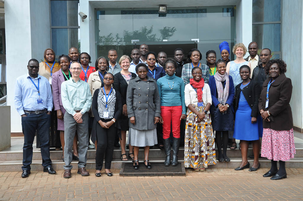
If you are a student, faculty member, or researcher in the United States, you can learn about IPUMS data through an exhibit or workshop at professional conferences held on multiple occasions each year. Thousands of U.S. demographers, geographers, sociologists, economists, ecologists, health researchers, and others have learned about IPUMS through these events. But what if you are student, teacher, or researcher in Africa, where resources are far less plentiful?
Conference Recap: Time Use Across the Life Course
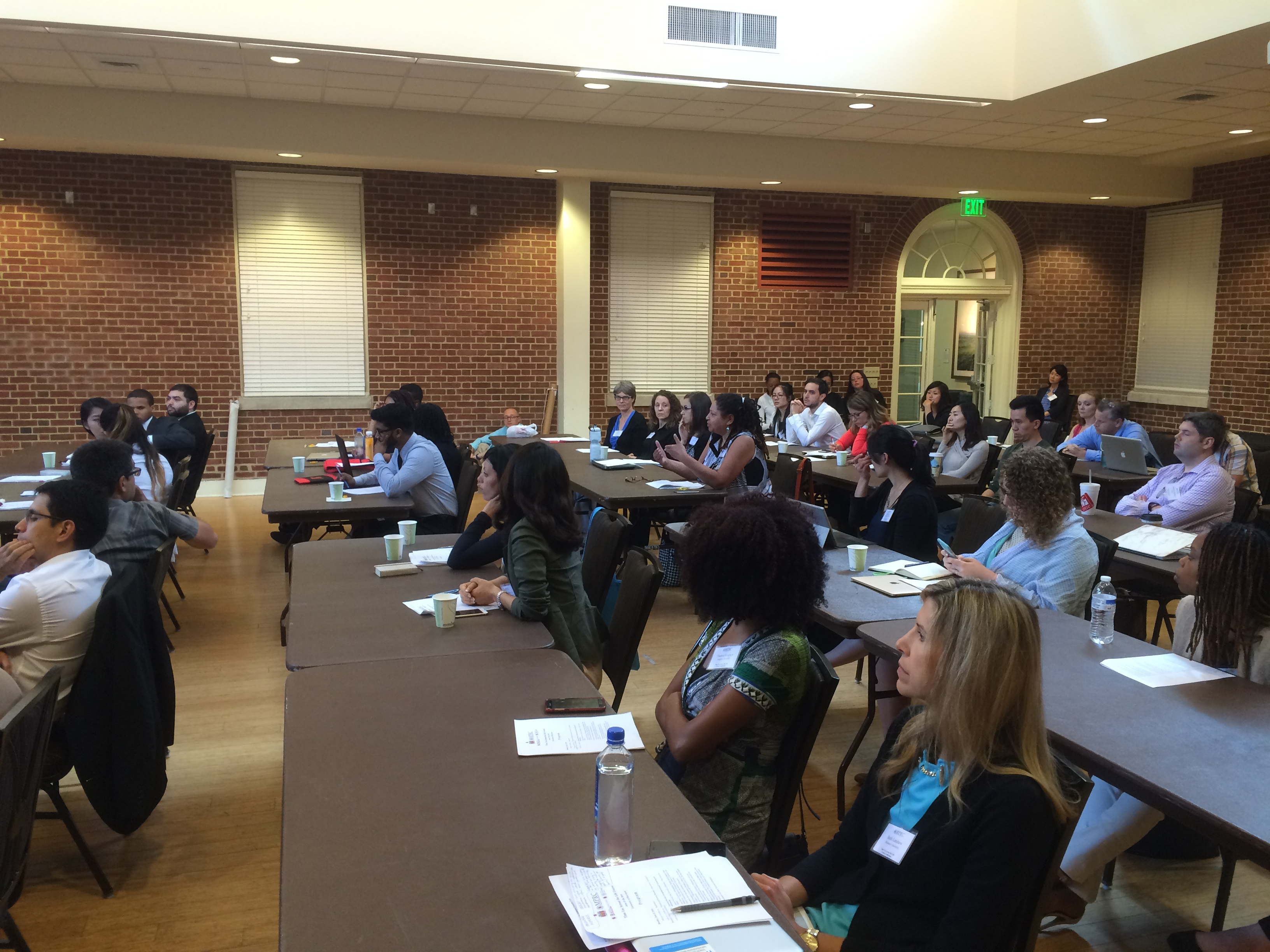
Over 100 students, faculty, and researchers gathered June 27 and 28, 2016 at the University of Maryland, College Park, for a conference on Time Use Across the Life Course, funded by the Maryland Population Research Center at the University of Maryland and organized by Liana Sayer. Conference attendees came from the United States, Australia, Singapore, England, and Belgium.
Addressing the Importance of Data

In April, MPC Director of Data Integration Matt Sobek was invited to speak at an event for the United Nations’ 49th Session of the Commission on Population and Development. The special session, “The Data Revolution in Action: National and International Experiences with Microdata Dissemination and Public Use,” was created to show attendees examples of national and international organizations distributing data for public use.